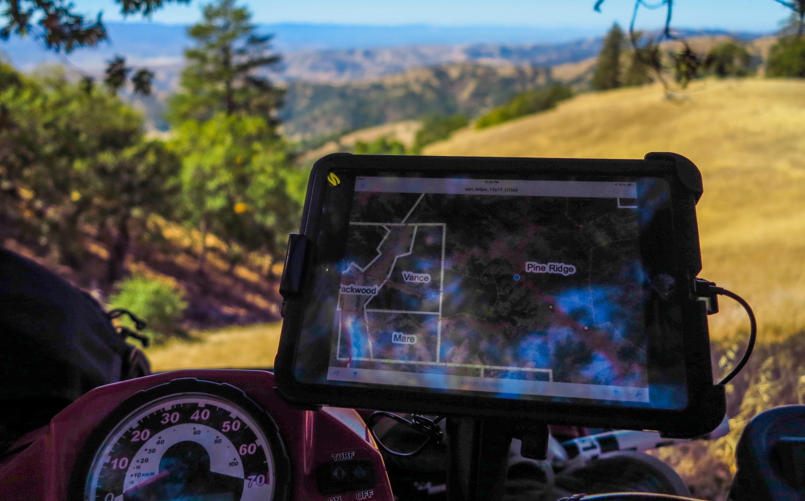
The Conservancy continues to develop tools to improve “drive by” RDM observations, including an iPad app (RDMMobile) that will seamlessly send field-recorded RDM monitoring data to the RDMapper database. Photo: Ethan Inlander
Can satellite monitoring replace in-person monitoring of conservation lands?
The Conservancy continues to develop tools to improve “drive by” RDM observations, including an iPad app (RDMMobile) that will seamlessly send field-recorded RDM monitoring data to the RDMapper database. Photo: Ethan Inlander
Grasslands degrade when subjected to overgrazing—becoming more dry, devoid of vegetation, and susceptible to erosion and invasive weeds. Without intervention, overgrazed pastures can lose not only their conservation value but also their economic and societal values as rangelands.
Moderate grazing, on the other hand, can have a positive effect on grasslands by stimulating new plant growth and controlling non-native species. In fact, a certain amount of disturbance from grazing is often essential for healthy grassland ecosystems.
But how much is enough? Land owners working to maintain healthy pastures need to be able to assess grassland health. Additionally, many grassland conservation easements require that grazing be performed in a sustainable manner.
The Nature Conservancy holds conservation easements on millions of acres of grasslands, and is legally required (and mission-bound) to ensure compliance with easement terms. Yet, the monitoring required to ensure compliance can be expensive. Traditionally, many land conservancies and public lands managers have monitored grasslands using hand-collected samples of dry grass clippings, called Residual Dry Matter (RDM). Measuring and weighing the dried grass gives an indication of the level of grazing, with too little RDM indicating a need to reduce grazing pressure, or risk degradation of the site.
Over the last decade, precision satellite monitoring technology has become increasingly affordable and accessible. So our scientists asked whether remote sensing could be deployed to detect grassland health from afar. And from that inquiry, they designed a web-based analytical program called RDMapper.
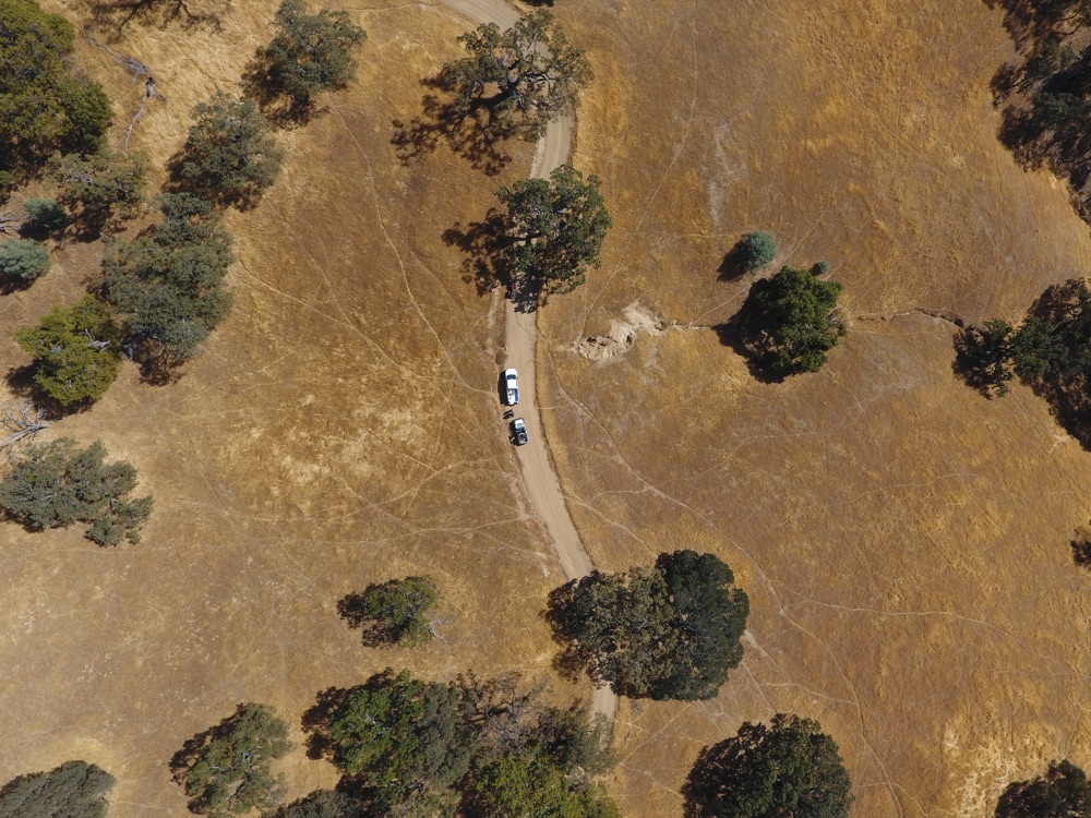
UAVs, or drones, can help with “drive by” RDM observations in remote settings. Photo: Kirk Klausmeyer
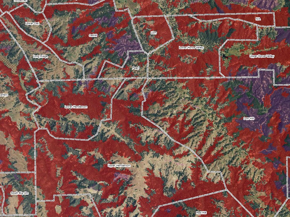
In RDMapper, remote sensing is deployed to detect grassland health from afar.
RDMapper helps TNC to predict grazing compliance using satellite-based grass productivity estimates, data about cumulative rainfall, and landowners’ past management history. The first version of the program, in 2015, accurately predicted which lands were being well-managed and which were not 83% of the time. By making adjustments to the program in 2016, accuracy improved to 90%.
The predictive power of RDMapper allows for more streamlined compliance monitoring across the 225,000 acres of Conservancy easements in northern California, saving hundreds of hours of staff time and freeing up resources for other conservation work. For land predicted to be in compliance, a simple “drive by” visual confirmation of the RDM conditions is conducted instead of more costly clipping, weighing, and mapping. We continue to explore and develop additional tools to improve the “drive by” observations, including use of UAVs, or drones, to increase the efficiency of observations in large, remote areas and development of an iPad app (RDMMobile) that will seamlessly send field-recorded RDM monitoring data to the RDMapper database.
The tool has applications beyond just compliance. Ranchers have begun to use the RDMapper tool to gauge grass growth, and to adjust grazing practices accordingly – and reduce the risk of overgrazing in the first place. If adapted for use more broadly, this approach could save significant public and private resources while also improving grassland health and management.
Lawrence D. Ford, H. Scott Butterfield, Pete A. Van Hoorn, Kasey B. Allen, Ethan Inlander, Carrie Schloss, Falk Schuetzenmeister, Miriam Tsalyuk
The Nature Conservancy developed RDMapper, a web-based tool that uses satellite-based productivity estimates, rainfall records, and compliance history to identify easement properties at risk of being…
Carolyn M. Malmstrom, H. Scott Butterfield, Laura Planck, Christopher W. Long, Valerie T. Eviner
Invasive weeds threaten the biodiversity and forage productivity of grasslands worldwide. However, management of these weeds is constrained by the practical difficulty of detecting small-scale…
Miriam Tsalyuk, Maggi Kelly, Kevin Koy, Wayne M. Getz, H. Scott Butterfield
Monitoring the effects of grazing on rangelands is crucial for ensuring sustainable rangeland ecosystem function and maintaining conservation values. Residual dry matter (RDM), the dry grass…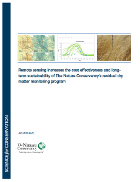
H. Scott Butterfield, Miriam Tsalyuk, Carrie Schloss
The Nature Conservancy in California monitors residual dry matter (RDM) on approximately 300,000 acres of conservation lands. Researchers evaluated whether satellite remote sensing data could be used…